3D Laser Scanning Surveys / Measured Building Surveys
3D Laser Scanning Surveys and Measured Building Surveys
3D Laser Scanning is a non-contact, non-destructive technology that captures the shape and appearance of physical objects or environments using laser beams. The process involves emitting laser light onto a target surface and recording the reflected signals to create precise three-dimensional digital models.
Key Aspects of 3D Laser Scanning:
- Point Cloud Generation: The scanner collects millions of data points, creating a point cloud that accurately represents the geometry of the scanned object or area.
- High Precision: Laser scanners provide accurate measurements, capturing fine details without physical contact with the object.
- Efficiency: This method allows for rapid data collection, significantly reducing the time required compared to traditional surveying techniques.

Applications of 3D Laser Scanning:
Architecture and Engineering
Used for creating detailed models for design, analysis, and documentation.
Construction
Helps monitor progress, verify as-built conditions, and ensure quality control.
Cultural Heritage Preservation
Used to digitally document historical sites and artifacts for restoration and archival purposes.
Manufacturing
Ensures parts and assemblies meet design specifications through detailed inspection.
State-of-the-art Equipment
By capturing precise spatial data, 3D laser scanning enhances visualisation, analysis, and decision-making processes across various industries.
Using our state-of-the-art Trimble Laser Scanning Equipment, we can provide you with a survey to your unique specification at our highly competitive prices.
- 2D & 3D drawings or Raw Point Cloud Files
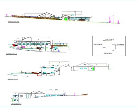
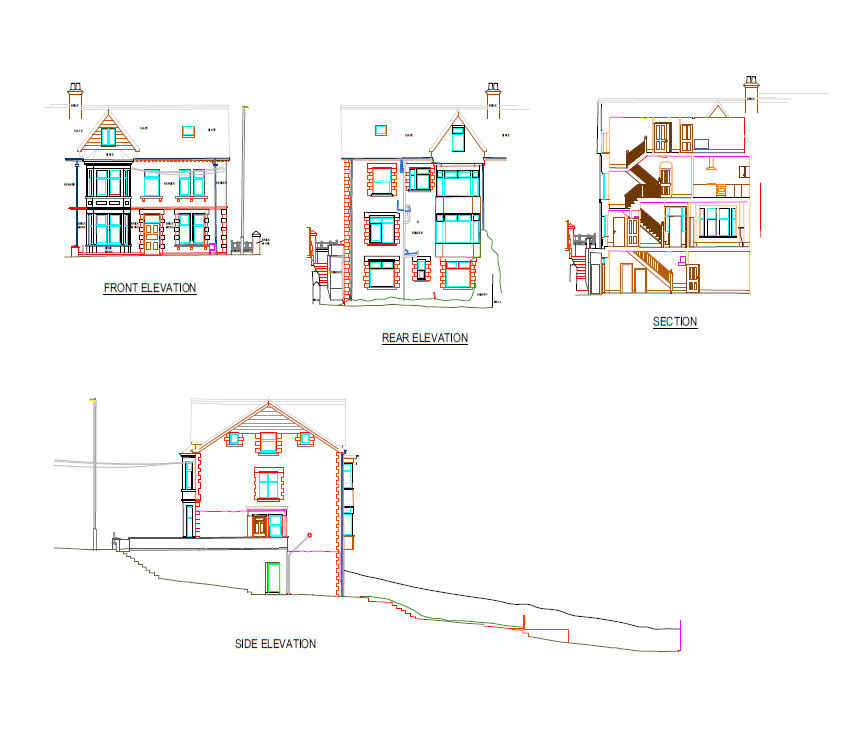
- Elevations
- Sections
- 3D measurable panoramic images
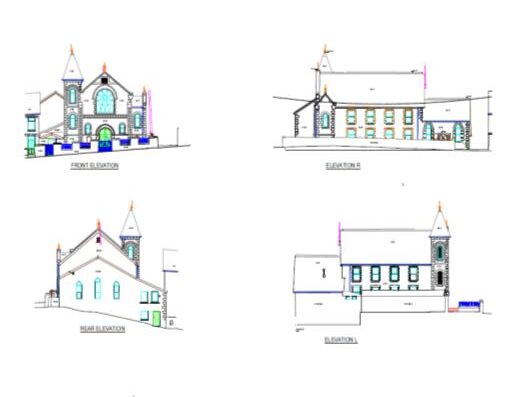
Example 1
Click to enlarge
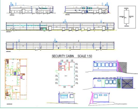
Example 2
Click to enlarge
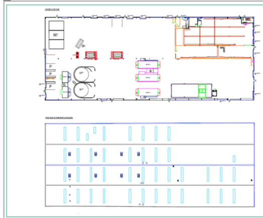
Example 3
Click to enlarge
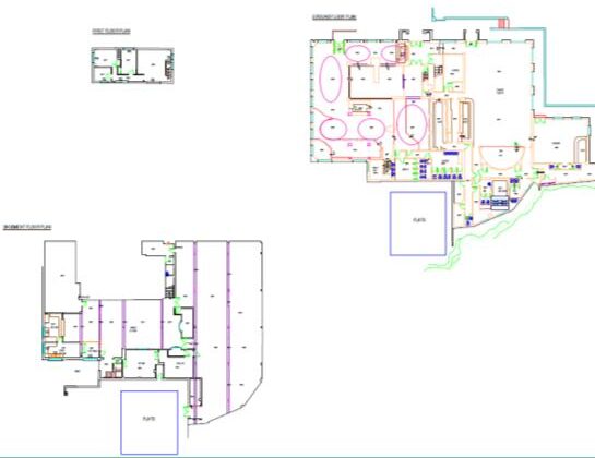
Example 4
Click to enlarge